Transdisciplinary Flood Research in Ghana Links Knowledge Co-Production to


The OER Observatory aggregates and displays OER-related news and content from third-party sources worldwide. This content is not produced by UNESCO or the OER Dynamic Coalition. All rights and responsibility for the original content remain with the respective authors and publishers. The inclusion of third-party content in the Observatory does not imply endorsement by UNESCO or the OER Dynamic Coalition. Users can access the original source through the link provided with each item.
Severe flooding events continue to expand in scale and frequency across the globe, driven by complex interactions among climate change-induced alterations in rainfall patterns, rapid urbanization, widespread vegetation clearance, and ongoing soil degradation. Managing these escalating hazards requires environmental authorities to address existing vulnerabilities while simultaneously contending with incomplete hydrological data, complex physical dynamics, and institutional constraints across every stage of the disaster risk reduction cycle. In an empirical study published in Natural Hazards and Earth System Sciences, researchers investigated how transdisciplinary research frameworks can resolve these systemic challenges by bridging technical modelling and societal needs. Focusing on the multi-year PARADeS project conducted across vulnerable urban and rural catchments in Ghana, the authors evaluated how structured co-production of knowledge between scientific consortia and regional operational agencies translates theoretical risk assessments into tangible, sustainable management strategies. Their findings demonstrate that conventional technical interventions alone cannot mitigate disaster impacts unless research designs deliberately incorporate collaborative stakeholder processes, multi-tiered institutional ownership, and long-term anchoring mechanisms.
The conceptual framework underpinning the investigation addresses the specific systemic characteristics that define flood risk research, including acute multi-scalar spatial dimensions, multi-temporal feedback mechanisms, context-specific socio-economic vulnerabilities, and pervasive predictive uncertainties. Natural catchments rarely align with administrative and municipal jurisdictions, meaning that upstream runoff and cascading hydrologic hazards frequently cross institutional boundaries before impacting vulnerable settlements downstream. Furthermore, flood risk assessments must account for historical land use transformations, near-term emergency operations, and long-term socio-climatic projections without obscuring the deep uncertainties inherent in predictive hydrological models. To confront these interconnected dynamics, the researchers adapted an established impact generation model from broader sustainability research, which identifies three generic mechanisms: the co-production of systems, target, and transformation knowledge; the promotion of collaborative social learning; and the development of technical and reflective leadership competencies. The research team expanded this theoretical architecture by demonstrating that these mechanisms remain largely ineffective unless supported by three foundational process mediators: the joint formulation of research inquiries, continuous trust and ownership cultivation, and institutional outcome anchoring.
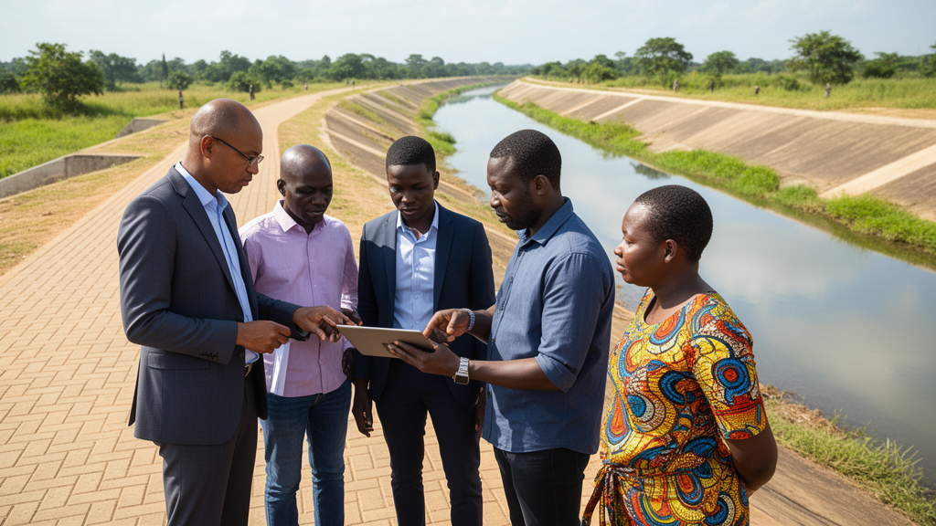
To test and substantiate this analytical model under demanding real-world conditions, the consortium implemented an empirical study in Ghana, a West African nation where thirty-three extreme flood disasters over the preceding two decades have impacted approximately one million residents and repeatedly paralyzed critical public infrastructure. The initiative examined three distinct socio-ecological settings: the densely populated, highly urbanized Odaw catchment in Accra; the rapidly growing Aboabo catchment within the Kumasi metropolitan area; and the expansive, agro-ecological catchment of the Upper White Volta near Bolgatanga. These geographic selections provided contrasting baselines encompassing localized pluvial urban ponding, severe fluvial river overflow, and cross-border catchment variability. The research consortium linked academic institutions including the University of Bonn, the University of Freiburg, and Osnabrück University with operational practitioners, notably Ghana's Water Resources Commission, the National Disaster Management Organization, the German Flood Competence Centre, and the West African Science Service Centre on Climate Change and Adapted Land Use.
The collaborative project unfolded across four structured operating phases that systematically operationalized the research design while activating the identified impact mechanisms. The opening phase concentrated on joint problem framing and context setting through a preliminary six-month investigative exercise. Rather than imposing predefined academic priorities, the researchers deployed an extensive national web-based public survey to capture direct citizen viewpoints regarding local flood occurrences, structural losses, and administrative deficits. Simultaneously, expert workshops brought together regional disaster managers, hydrometeorological specialists, and water commission officials to map out structural vulnerabilities, delineate hazard hotspots, and dissect underlying causal drivers using a structured problem tree methodology. This collaborative groundwork established a consensus definition of pressing challenges, ensuring that the eventual research scope addressed actionable statutory priorities and secured institutional alignment prior to commencing technical fieldwork.
Building upon this agreed foundation, the second phase established an empirical baseline through participatory mixed-method investigations that integrated technical hydrodynamic modelling with situated grassroots insights. Research teams executed cross-sectional river channel surveys, analyzed digital elevation models, and incorporated local building footprints and land-use changes into hydrological models to evaluate flood hazard extents and structural damage probabilities. To alleviate severe historic data scarcity, the team deployed community-managed water level gauges as a pilot citizen science initiative, allowing local residents to record and relay localized discharge dynamics directly into the scientific models. Focus group discussions across all three study areas supplied crucial qualitative validation, revealing that citizen evaluations of physical vulnerability diverged sharply based on household income, residential location, and individual flood exposure histories. Integrating these grassroots observations converted static hazard maps into comprehensive socio-economic risk evaluations while grounding scientific model assumptions in lived communal realities.
The third phase engaged regional policy architects, local community representatives, healthcare authorities, and disaster response teams in co-designing viable intervention pathways through qualitative systems modelling and participatory backcasting exercises. Utilizing causal loop diagrams, workshop participants systematically traced the non-linear interconnections linking municipal waste disposal blockages, unplanned informal settlement patterns, regulatory housing policies, and wetland deterioration to upstream hydrological runoffs. Exploring divergent future scenarios enabled stakeholders to move beyond immediate, reactive emergency responses toward transformative, preventative policy frameworks. This iterative process culminated in the collaborative synthesis of a comprehensive policy toolbox, which provided authorities with an array of targeted measures spanning local municipal planning restrictions, wetland conservation mandates, upstream retention basin investments, educational campaigns, and multi-agency coordination protocols tailored to urban and rural conditions.
The final phase was dedicated to the institutional anchoring and long-term sustainability of the co-created solutions beyond the finite lifespan of research project funding. To prevent specialized outputs from becoming abandoned research artefacts, the consortium prioritized user-centric software design during the creation of a national web-based Flood Information System. Developed in close technical alignment with operational agency workflows, the system integrates predictive hazard scenarios, drainage parameters, and vulnerability indicators directly into public infrastructure monitoring. The software architecture was formally transferred to the Ghanaian Water Resources Commission to serve as a foundational analytical asset for the national Flood Early Warning System Centre in Accra. Parallel efforts established the Ghana Flood Label, an operational diagnostic protocol adapted under the guidance of the National Disaster Management Organization to empower individual homeowners and neighborhood builders to evaluate structural property exposure and implement localized floodproofing precautions.
The empirical findings revealed that the activation of knowledge production, social learning, and technical competence depended fundamentally on the presence of mediating conditions established during early collaborative engagement. Because Ghanaian operational agencies actively initiated and shaped the original project proposal, partner organizations possessed deep institutional investment from inception. The researchers observed that mutual trust did not materialize passively through workshop attendance; rather, it required systematic maintenance through reciprocal working visits between African and European institutions, transparent decision-making hierarchies, joint technical handbook authoring, and formal debriefings. When practice partners requested operational policy briefs and Open Educational Resources alongside conventional journal manuscripts, the academic consortium adapted its deliverables, reinforcing shared respect and mutual accountability across traditional institutional divides.
The project outcomes offer substantial conceptual insights for flood risk governance within both Global South and Global North jurisdictions. In many industrialized nations, flood risk management remains dominated by centralized, engineering-driven paradigms that frequently treat advanced computational models as inaccessible analytical black boxes, inadvertently isolating non-technical civic administrators and local populations from core risk decisions. The Ghana case study demonstrates that embedding hydrodynamic calculations within participatory stakeholder platforms elevates both the practical accuracy and democratic legitimacy of risk assessments. When civic officials, municipal hydrologists, and community representatives interact directly with participatory mapping and scenario evaluation interfaces, technical tools become catalysts for collective learning rather than barriers to civic comprehension, producing locally grounded strategies that balance technical rigor with socio-cultural applicability.
Ultimately, the investigation establishes that resolving complex, non-linear environmental risks requires an operational transition away from isolated academic assessments toward sustained, reflexive co-production. Methodologies like participatory mapping, causal loop systems conceptualization, citizen science water monitoring, and structured options appraisal are most potent when deployed as interconnected elements of an adaptive governance workflow. As the authors emphasize, the long-term transformative capacity of disaster research does not reside merely in generating refined computational models of physical hazards, but in establishing transparent institutional relationships, inclusive platforms for shared learning, and durable operational instruments that equip societies to navigate compounding ecological hazards cooperatively.
Subject of Research: Transdisciplinary knowledge co-production and institutional anchoring for flood risk management in Ghana
Article Title: Co-production of knowledge for effective flood risk management
Article References: Evers, M., Höllermann, B., Kruse, S., Norman, C., Lumor, M., Almoradie, A., & Ntajal, J. (2026). Co-production of knowledge for effective flood risk management. Natural Hazards and Earth System Sciences, 26(11), 5853-5871. https://doi.org/10.5194/nhess-26-5853-2026
Image Credits: AI Generated
Keywords: Flood Risk Management, Transdisciplinary Research, Knowledge Co-Production, PARADeS Project, Disaster Risk Reduction, Participatory Modelling, Flood Information System, Ghana Flood Label, Citizen Science, Social Learning, Competence Building, Institutional Anchoring, Causal Loop Diagrams, Hydrological Modelling, West Africa Flooding, Reflective Leadership